Paddlers in Northeast Ohio have a new spot to get in and out of the Cuyahoga River. Northampton Point, located on Akron-Peninsula Road in Cuyahoga Falls, is about six miles from the Valley View area entry point in Cascade Valley Metro Park in Akron.
The access point features a changing room, ADA accessible restroom and maps of the river trails near the parking lot, along with a short trail to the water.
"There needs to be some extra room, which is why that plaza up there is open," Summit Metro Parks Executive Director Lisa King said. "People can drop off their boat and all that right near the walkway down, park their car, come back, and then make an easy walk down to the river."
Summit Metro Parks partnered with Cuyahoga Valley National Park on the Northampton Point project, covering the $396,000 cost for construction. CVNP will be responsible for maintaining the access point.

Most of that spending went toward development of the parking lot, King said. The site's key features were natural ones.
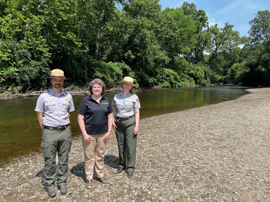
"We have experts that will look at the flow of the water," King said. "Not every point to the river is a good point to get in or out. So you look for something that's got a nice gentle ease into the water, a nice sandy shoal. This had that."
After completing the Valley View access point in 2024, it became clear that safe entry and exit points further along the river were limited, King said.
"We have this wonderful river that runs through so many communities, but there's really no easy access to the water. You can see it, but you can't get to it," King said. "Knowing that you could put in [at Valley View], but then not absolutely knowing where you could get out, that's when we started very early talking with the National Parks."
Prioritizing safety
Safety is top of mind for CVNP and Summit Metro Parks officials alike, Deputy Superintendent Karen Dorn said, and entry points like Northampton only contribute to a shared mission of safe access.
"The most important thing is the accessible areas allow people to experience the river in a safe manner," Dorn said. "If we don't have this lovely Northampton Point put-in, or take-out, you've got to try and figure out along the way what might be a safe spot. But it's marked, it's safe, it is easy to get your boat in and out of."
Prior to the entry point, CVNP Interpretive River Ranger Ryan Ainger say he and other paddlers may have disembarked at points along the river that were not as safe, like rocky shores or bridge abatements,
"One of the biggest hazards in kayaking is really getting in and out of your boat. That's when most people will hurt themselves more than while they're on the water," Ainger said. "Having access that is intentional like this takes away those risk factors, but it also makes it easier to navigate."
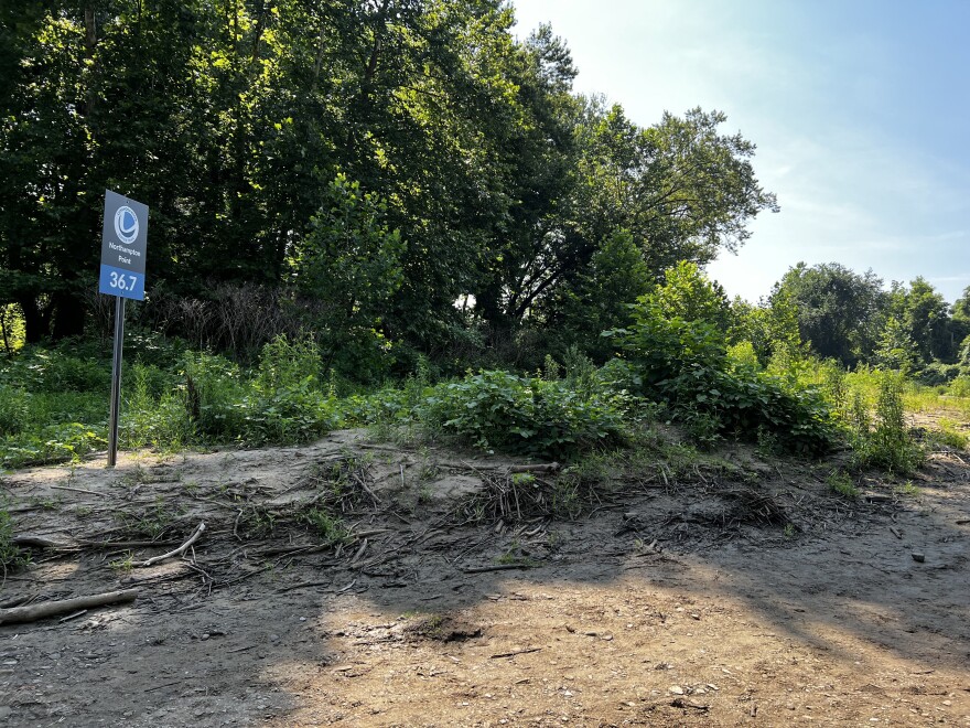
A sign near the river bank now highlights Northampton Point and the 36.7 mile marker. Northampton Point is a calm stretch of river good for beginners and families, King said, that last until about the 44-mile marker near the Gorge Dam.

A small piece of a larger network
A 41-mile stretch of the Cuyahoga River from the Gorge Dam to Lake Erie received a national water trail designation from the U.S. Department of Interior in June for its uninterrupted navigability, safe access points and amenities.
Ainger, who serves as river program manager for CVNP, helped to write the application for the national designation. The Northampton Access point helps to meet national qualifications.
"You also have to have access within a certain amount of miles, 10 miles between access points, and so where we're at now, Northampton access point actually filled that niche," he said. "We were able to shorten that gap down to six and four miles, a really nice midway point, and that was one of the linchpins in helping us attain that status for our national water trail designation."
Nearly all 100 miles of the river received a state-designated water trail from the Ohio Department of Natural Resources in 2019. However, the national designation expands its reach, Dorn said.
"It brings that national level significance ... to our home state of Ohio and particularly this park and the Cuyahoga River along its entire extent," Dorn said. "[That's] more opportunity for people to find out about it, right? And have the opportunities to enjoy the river."
Water safety regulations
Work continues for CVNP and its partners to ensure safe access points along the river, notably at Fitzwater Road and its Oxbow Meadow location, formerly the Brandywine Golf Course.
In the meantime, the best thing a paddler can do to ensure safety on the water is to prepare, Ainger said.
"Your river trip really should start at home to make sure that you are checking conditions, making sure that the flow, the weather, that your equipment is all within your skill levels," he said. "Using those resources, using our website, is one of the best ways to plan ahead."
Certain points of the river are calm enough for beginner paddlers and families, but areas marked as "experienced paddlers only" on CVNP maps may have choppy waters, or may be along shipping channels where freighters are common.
If a paddler is caught in questionable conditions, the best thing to do is find a safe spot to disembark and call a park ranger for assistance, Ainger said.
"You can always just pull your boat out at the next safest landing or the next safe bridge you can contact our dispatch," he said. "We're always happy to help, especially if it means that you're safely on land and not on the river in something hazardous.
CVNP regulations require all boats, including canoes and kayaks be registered before entering the water. Passengers on all boats are required to wear U.S. Coast Guard approved life jackets, and children under 10 years old are required to wear life jackets on boats less than 18 feet in length.
Operating any boat under the influence of drugs or alcohol is prohibited, and inflatable innertubes or flotation devices are not permitted on the water.


